21/10/2023 22/10/2023
Gia Lan mountain
536 0
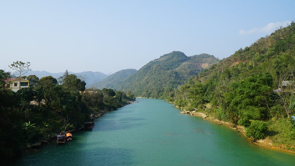
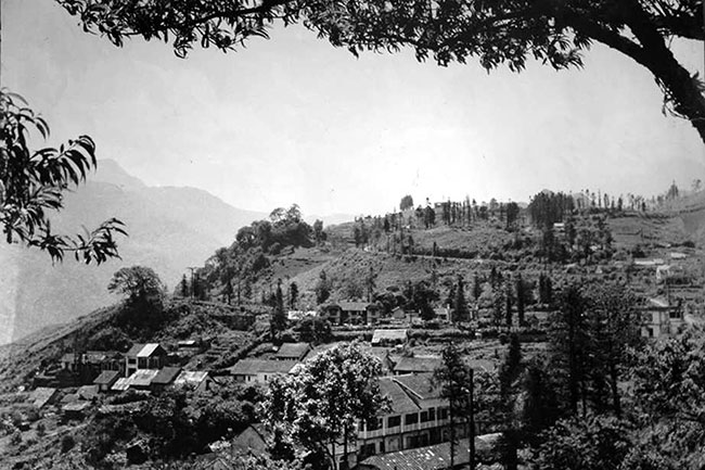
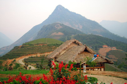
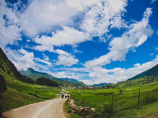
Coming to Van Ban, from the Heaven Gate you can see the top of Gia Lan peak and open before your eyes is an entire flat valley area that is both wide and long.
Stretching from Lang Giang commune, Khanh Yen town, then to Khanh Yen Thuong commune, Khanh Yen Trung, Khanh Yen Ha, Chieng Ken, Liem Phu…
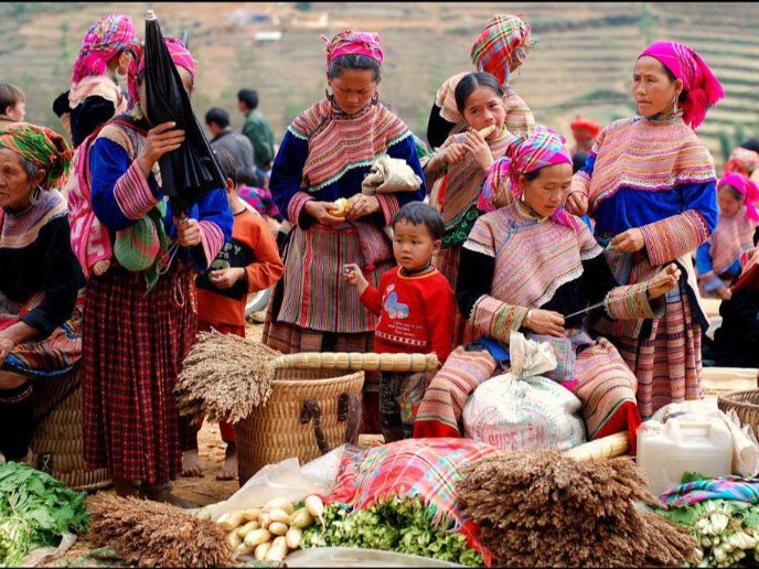
Surrounding the foot of Gia Lan mountain, are villages mostly inhabited by Tay ethnic people.
Gia Lan Mountain is a historical testament of the people of all ethnic groups in Van Ban district.
Because Gia Lan has witnessed the losses and sacrifices of villages and steadfast revolutionary comrades who heroically sacrificed for the cause of liberating the homeland.
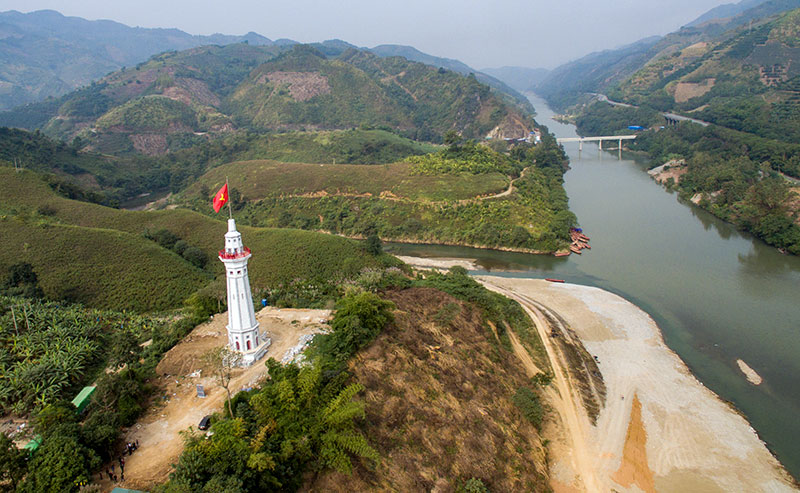
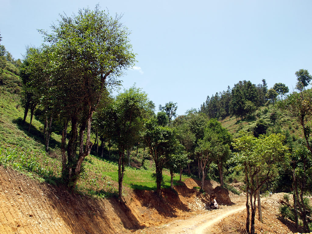
Gia Lan Mountain is over 1,458m above sea level, belonging to the Hoang Lien range, a large mountainous area with rugged terrain with many high mountains, deep valleys, dense primeval forests, and a lot of waterfalls.
In order to serve the needs of visiting and conquering Gia Lan mountain peak, Van Ban district People’s Committee will install the Gia Lan mountain peak in the near future.
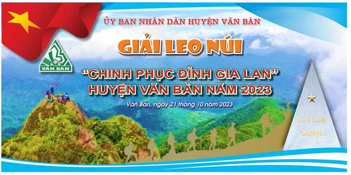
On October 21, 2023, Van Ban district will organize the climbing tournament “Conquering Gia Lan peak” to contribute to promoting tourism development, promoting the beautiful image and unique tourist destinations of the district to a large number of people.
Tourists inside and outside the province as well as attracting organizations, businesses and individuals to invest and participate in service and tourism business activities in the district.
It is expected that 200 athletes will participate in the tournament. Athletes climb a natural slope, a distance of 7.6 km, the destination is Gia Lan mountain peak at an altitude of 1,458m above sea level.
Thanh Tuan


%20v%e1%bb%9bi%20Trung%20Qu%e1%bb%91c/dao-bac-ha_636931637798307905.jpg)